In coöperation with the “Drei Länder — Ein Weg” karst hiking trail working group, you now have the opportunity to get to know the beauty of the karst region on your hikes to the stamp points on the karst hiking trail.
From Bad Grund in the west to Pölsfeld in the east of the southern Harz, you can experience caves, sinkholes, karst springs, winding streams, rocks, rare animals and plants, magnificent views and culinary and cultural highlights.
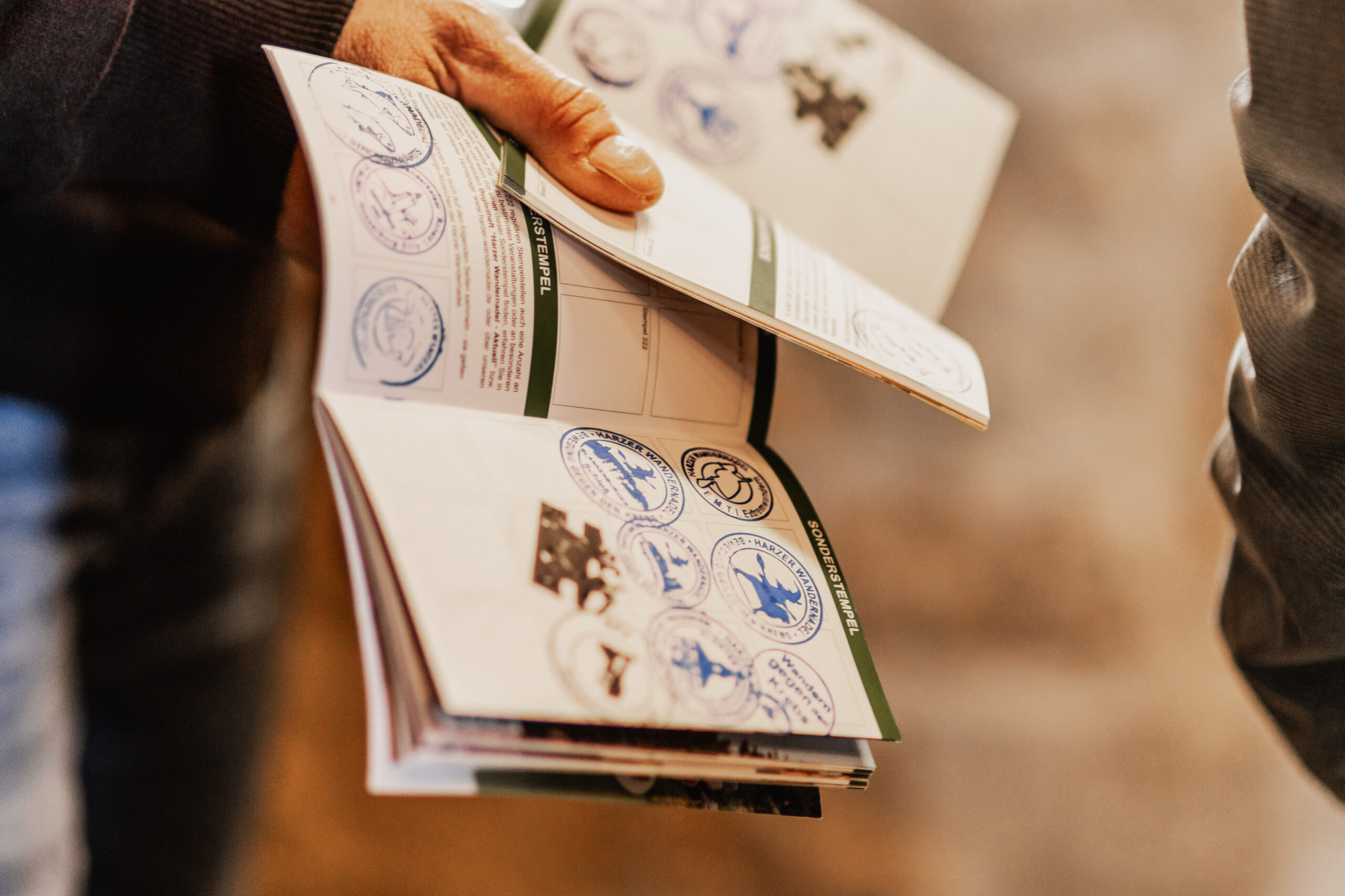
We hope you enjoy hiking in this unique natural area, whose mascot is the badger. Once you have visited all 24 stamp points, you will receive a badger hiking pin.
| Stamping office | Coordinates N | Coordinates E |
|---|---|---|
| Iberger Albert Tower, Bad Grund (HWN 130) | 51°49.192′ | 10°14.712′ |
| WeltWald, Bad Grund (HWN 129) | 51°49.156′ | 10°13.502′ |
| Badenhäuser Königsstein, Oberhütte | 51°45.468′ | 10°11.868′ |
| Lichtenstein castle ruins, Dorste | 51°43.270′ | 10°10.545′ |
| Osteroder Feldherrenhügel, Osterode | 51°42.025′ | 10°13.913′ |
| Dünaer Rötzelkamm, Düna | 51°41.819′ | 10°15.820′ |
| Unicorn cave, Scharzfeld (HWN 101) | 51°38.101′ | 10°24.264′ |
| Scharzfeld castle ruins (HWN 151) | 51°37.731′ | 10°24.536′ |
| Westersteine, Bartolfelde | 51°36.024′ | 10°26.640′ |
| Historic plaster kiln, Neuhof (HWN 192) | 51°34.613′ | 10°34.514′ |
| Sachsensteinhütte, Neuhof (HWN 166) | 51°34.844′ | 10°35.031′ |
| Hexentanzplatz, Ellrich (HWN 167) | 51°34,863′ | 10°38.754′ |
| Guardhouse on the Mühlberg, Niedersachswerfen | 51°33.316′ | 10°45.653′ |
| Trowel, Appenrode | 51°34.028′ | 10°43.082′ |
| Salzaspring, Nordhausen | 51°31.828′ | 10°45.700′ |
| Harz wooden steam locomotive, Neustadt (HWN 99) | 51°33.396′ | 10°49.528′ |
| Glockensteine, Steigerthal (HWN 198) | 51°31.061′ | 10°51.483′ |
| Reesbergdoline at the Heimkehle (HWN 214) | 51°29.867′ | 10°56.866′ |
| Bauerngraben, Agnesdorf (HWN 213) | 51°29.338′ | 11°04.676′ |
| Queste, Questenberg (HWN 212) | 51°29.596 | 11°07.032′ |
| Beautiful view, Hainrode (HWN 210) | 51°30.080′ | 11°08.510′ |
| Ankenberg, Großleinungen | 51°29.737′ | 11°11.086′ |
| Mining nature trail, Wettelrode (HWN 222) | 51°32.223′ | 11°16.616′ |
| Grits field | 51°31.529′ | 11°21.518′ |
