Hohe Tür is the name given to a vantage point between Bad Lauterberg and the spa town of Steina, a district of Bad Sachsa. There is also a watershed here.
The “Weser/Elbe” watershed runs from the Hohe Lieth on the North Sea across the Lüneburg Heath, the Flechtiger Höhenzug to the Hohe Holz. There, the line turns in the direction of Elm and Asse to the Harz Mountains and on to Thuringia.
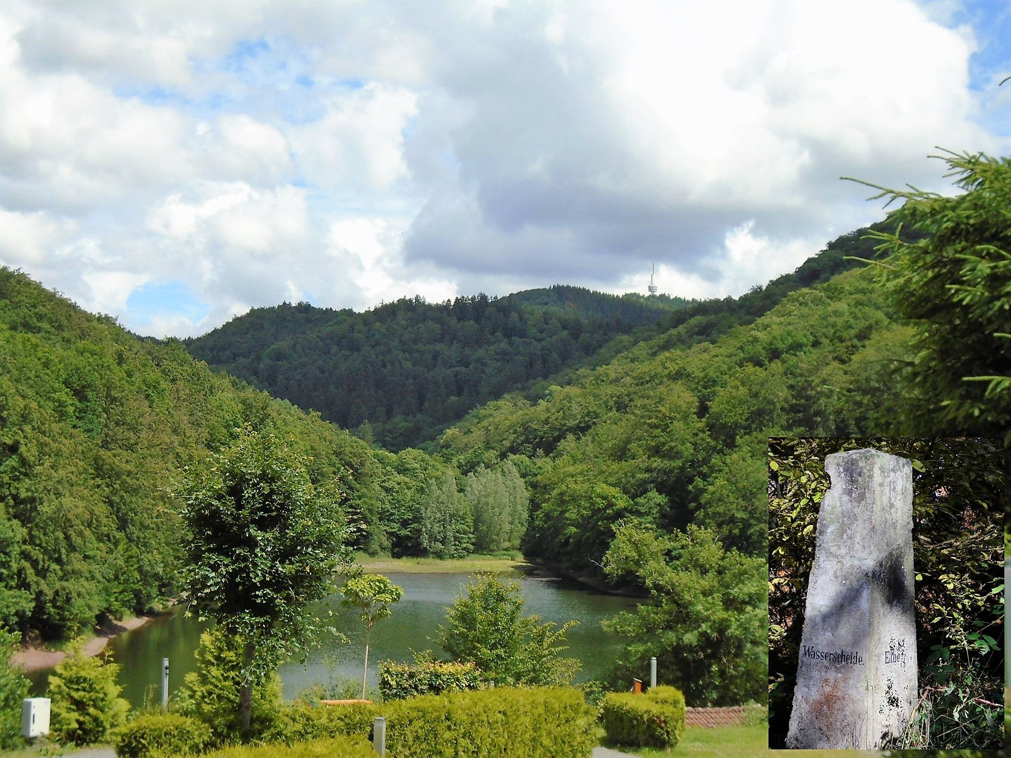
The stamp site is approx. 1.5 km from the “Wiesenbeker Teich” pond near Bad Lauterberg, which is fed by the Wiesenbek stream. The pond, which was put into operation in 1715, was once used to supply water to the “Aufrichtigkeit” copper mine in Lauterberg, which is why it was initially called the “Aufrichtigkeiter Teich”. When ore mining ceased there, it supplied the “Lauterberger Königshütte” blast furnace, foundry and wire drawing works.
Today, the beautiful mountain lake is used as a local recreation destination for swimming, fishing and boating. Dombrowsky’s Baude, which offers appealing Harz hospitality in a beautiful setting, is also located directly on the lake.
The parking lots at Wiesenbeker Teich are a good starting point for a hike to stamp point 43.
