The Jungfernklippe (660 m above sea level) is located southwest of the Dehnenkopf (775 m above sea level) and above the Kellwassertal valley on a forest road, which also marks the boundary of the national park.
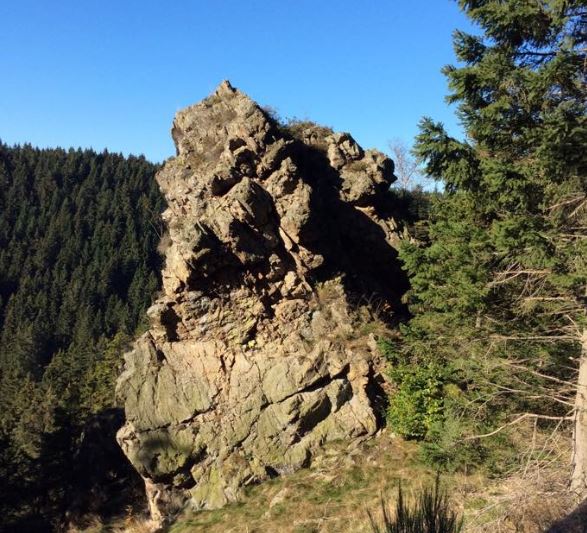
The cliff as such is unspectacular, but a few hundred meters away, below the Jungfernklippe at the Blochschleife, you can discover what is now the beginning of the Dammgraben.
As early as the middle of the 17th century, it was realized that the water around Clausthal-Zellerfeld was no longer sufficient for the mines on the Clausthal plateau. The mining authority therefore developed a plan to “bring in the distant waters of the Bruchberg and Brockenfeld” by building a “long ditch”. The first work began on the Mönchstal watercourse in 1659 and ended in 1827 with the diversion at the Blochschleife.
The Jungfernklippe is easiest to reach from the small “Ulmer Weg” parking lot, which is located directly on the B 4, approx. 1 km below the large parking lot at Torfhaus. Two wide, gravel forest roads begin on the opposite side of the road, from which the left-hand gravel road leads slightly downhill to the Jungfernklippe, approx. 2 km away.
The stamp point can also be approached from the direction of Torfhaus. Parking lot below the Lerchenköpfe, cross the road and follow the Kellwasser around the Dehnenkopf for 1.5 km.
