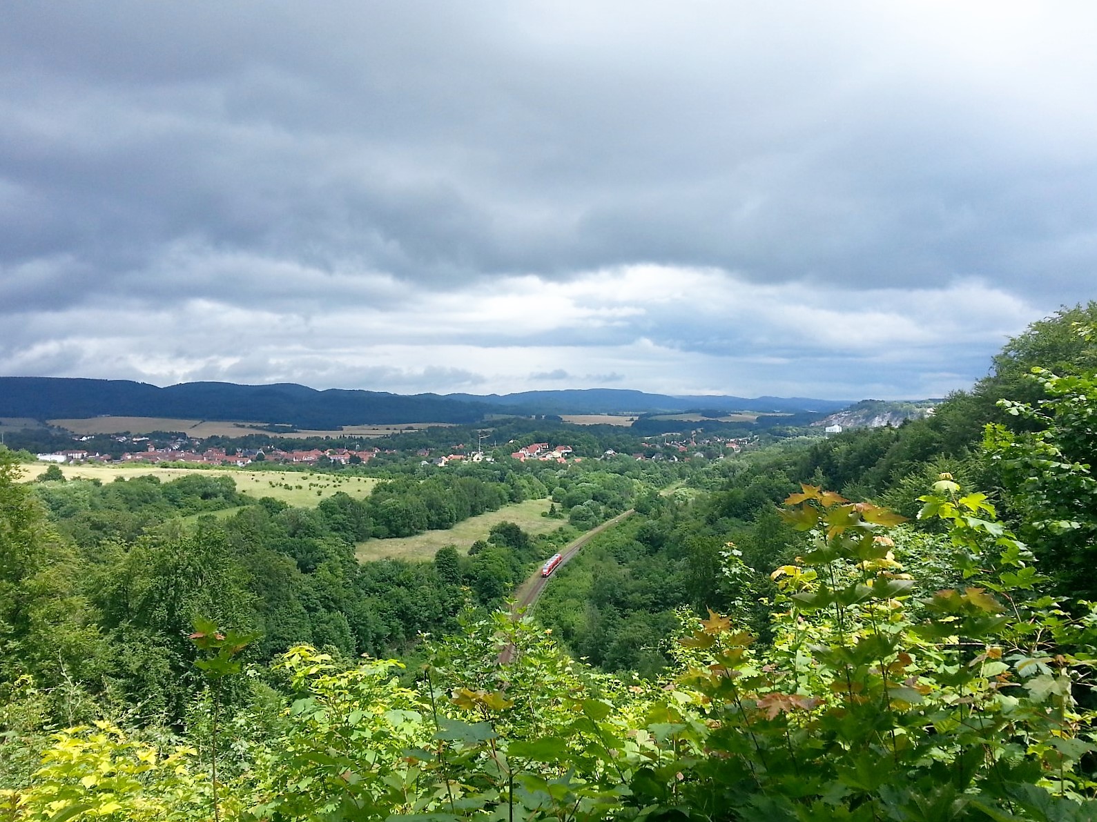
Also known as the “Ellricher Blick”, the witches’ dance site is located in the “Itelteich” nature reserve on the “Himmelreich” gypsum massif, which lies between Walkenried and Ellrich.
This 120-hectare pond, forest and rock area has been protected since 1949. Special animal species include the eagle owl and the still numerous fire salamanders. In the fall, flocks of migratory birds invade the Itel reed beds.
Due to the numerous animal species that use dead and old trees, beech trees in particular remain standing far beyond their forestry age.
The railroad line between Walkenried and Ellrich was built in 1868. It was decided to tunnel under the “Himmelreich”, a gypsum massif in the heavily karstified Werra anhydrite. A very large cave was discovered on July 9, 1868 during the excavation of the tunnel. The cavity essentially consists of a hall 182 m long and 15 m high. The railroad tunnel was built directly into this cave hall and covered several meters high to prevent it from falling out of the cave ceiling.
The Hexentanzplatz, located above this railroad tunnel, is a former cultural site of the Chatten, which was christened “Himmelreich” by the monks of the Walkenried monastery.
The best starting point for a hike to Hexentanzplatz Ellrich is the free parking lot at Walkenried Monastery. From there, it is 2.3 km to the stamping point with a wonderful view of Ellrich.
Please do not park in the parking lot of the Ellrich-Juliushütte memorial!
