The Goedeckenplatz is a crossroads halfway between St. Andreasberg and the Großer Knollen, below the Koboldstaler Köpfe (591 m above sea level).
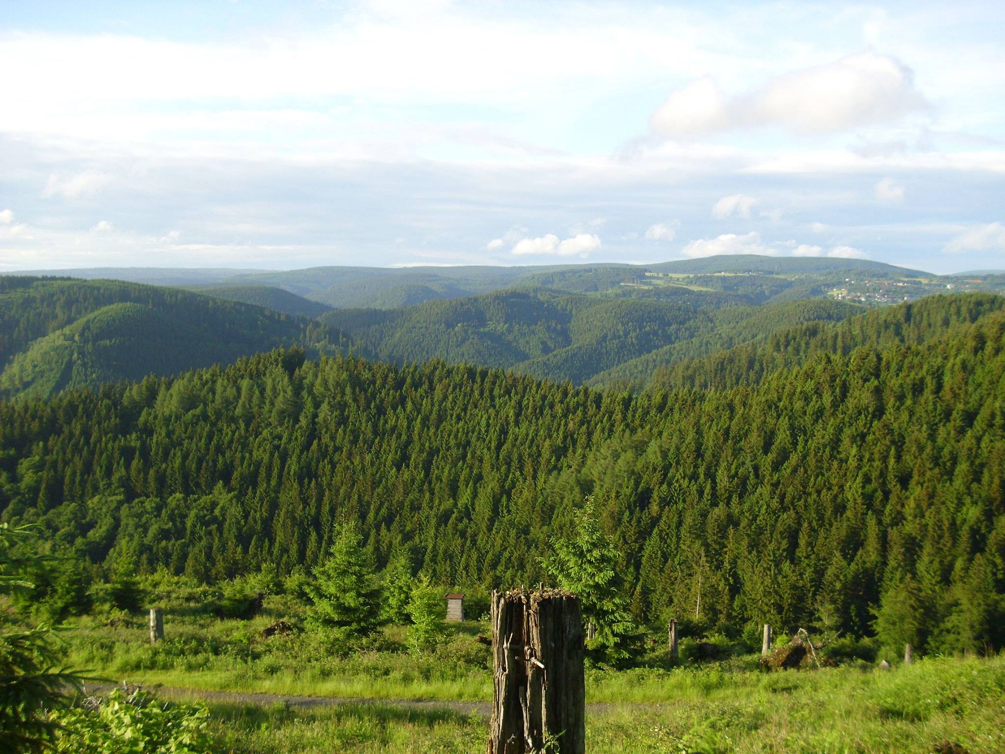
The Goedeckenplatz can be reached via paths from Bad Lauterberg via the Luttertal, from Sieber via the Gropenbornskopf and from St. Andreasberg via Silberhütte and Sieberberg. From Goedeckenplatz you have an excellent view of St. Andreasberg and the Sieber valley.
Next to the stamp box, the trail begins up to the Großer Knollen over the ridge of the Aschentalshalbe (685 m above sea level) and on over the Sieberpass (550 m above sea level).
The Aschentalshalbe runs almost exclusively through dark spruce forest, but you can enjoy wonderful views from the top of the ridge. After descending from the Aschentalsalbe, follow the path along the Köte on the Sieberpass, climbing steadily to the Großer Knollen (687 m above sea level) HWN 150.
From the Großer Knollen you can descend to the Knollenkreuz HWN 152 and hike through the valley of the Krumme Lutter via Goedeckenplatz back to the Sieberberg.
The starting point is the Sieberberg parking lot, between Silberhütte and Sieber. The Goedeckenplatz is 2.5 km from the parking lot and the round trip from there to the Großer Knollen, on to the Knollenkreuz and back to the Sieberberg is approx. 20 km long.
