The Bauerngraben (338 m above sea level) is a large stream ditch located between Questenberg and Breitungen at the mouth of the Glasebach stream and is one of the most impressive geological phenomena in the gypsum karst.
The Glasebach stream coming from the Harz Mountains meets a gypsum karst ridge at this point. As a result of leaching processes, the level of the basin has been lowered further and further and has formed the shining white steep face on one side.
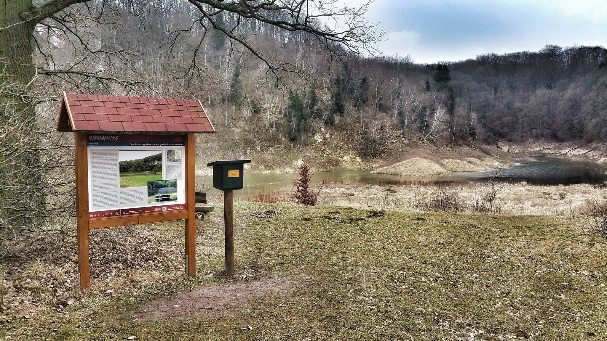
The Bauerngraben is also known as a „periodic lake“, although the term „episodic lake“ is more accurate. Depending on whether the swallow holes (ponors) that drain the water underground are blocked or unblocked, the basin fills up or runs dry.
In the past, when the ditch was filled with water, the parish of Roßla would stock it with fish and also fish in it. However, if the basin was dry, the parish priest of Breitungen had the right to sow and harvest in it.
From the parking lot on the road from Roßla to Agnesdorf, a signposted hiking trail leads to a peninsula on the opposite side of the cliff. The stamp box is located next to the regional association’s information board.
| N51.48897 E11.07794 |
