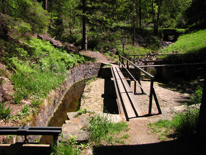
The “Große Wehr” is located between the Hammerstein cliff at the Stieglitzecke and the “Sperberhaier Dammhaus” and is the beginning of the “Morgenbrodtsthalergraben”.
The Morgenbrodtsthalergraben has a length of 4.1 km, is fed by the Große Söse and the Morgenbrodtsbach and carries the water to the Dammgraben.
The construction of the “Sperberhaier Damm”, the large Harz aqueduct (1732/1734), made it possible to use the water from the Morgenbrodtsthaler Graben, which had already been opened up in 1715, for ore mining in the Dorothea and Caroline mines.
However, the ditch is actually too high, as it was assumed when it was built that the Sperberhaier Damm would be about 8 — 10 m higher than it was later. For this reason, the slope of the ditch near the dam house is unusually steep at 11.5 % over a distance of approx. 130 m.
A good starting point is the Sperberhaier Dammhaus, which was built at the same time as the dam of the same name on the Dammgraben, and was originally built for the miners, who used it as a changing room and prayer house. It was later used as a service dwelling for the ditch keeper before being converted into a popular restaurant for excursions. The hiking trail leads from there along the Morgenbrodtsthaler Graben to the Great Weir.
The shortest path leads from the Stieglitzecke over the Hammersteinklippe, very steep and impassable past the Sösestein, directly to the Great Weir.
This path is currently not passable (fallen trees).
