The Reesbergdoline is located between the Heimkehle karst cave near Uftrungen and the Reesberg (325 m above sea level) in the forest area of the Alter Stolberg.
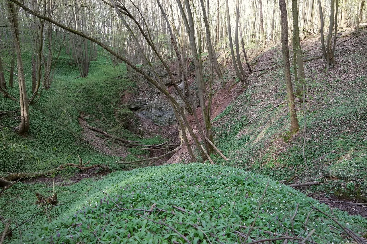
The basin of the sinkhole is 22 m deep and lies on the boundary between the red sandstone and Zechstein. Stratified springs, which originate from the red sandstone, emerge at the sinkhole. The water is therefore unsaturated and able to dissolve gypsum very quickly. The water flows only a few meters downhill and then disappears into the gypsum-rich main anhydrite. Over the course of several centuries, a deep solution doline was formed.
As early as March, the doline is transformed into a green carpet by the sprouting wild garlic. Other spring bloomers adorn it until the dense deciduous forest severely restricts the further growth of the ground plants. In summer, the springs dry up, the ground vegetation dries up and you can only guess at the activity of the disappearing water in the dried-up channels.
Water colorations showed that there must be a connection between the dwindling water and the Heimensee lake in the Heimkehle karst cave. The home lake in the cave is only 170 m away from the Reesbergdoline. Dyed water from the stream could only be found in the Heimensee three weeks later. The long period of time indicates a very slow flow rate.
The Heimkehle show cave is still located in the district of Mansfeld-Südharz, although its north-western parts extend into the district of Nordhausen. The large natural entrance to the cave is also located on Thuringian territory. It was first mentioned in a boundary survey in 1357.
A good starting point for the hike to the Reesbergdoline is the parking lot at the Heimkehle, from which you can reach the doline via the karst hiking trail.
| N51.49778 E10.94777 32 U 635234 5706990 |
